No, it’s not our nickname for them. This southern-most sub range of the 1,000km Dinaric Alps really is called the Accursed Mountains.
The origin of the name is unclear, but interestingly both the Albanian and Serbo-Croatian names translate as ‘cursed mountains’.
According to an old local legend, the Devil escaped from hell and in a single day of mayhem created the jagged glacial peaks. Another legend blames a woman who was fleeing the Ottomans with her infant and young child. In the unrelenting heat of summer and unable to find any water, all three died of thirst but not before the woman cursed the mountains. A third story is that the name is more recent, and was given to the mountains by Slavic soldiers as they struggled to march through them during a campaign in the early 1900s.
More kindly, the mountains are also known as the Albanian Alps and ‘the roof of the Balkans’. Whatever you call them, these mountains are truly remote, one of the few remaining areas of Europe which have not yet been fully explored.
The mountains were completely off limits to civilians until 20 years ago. Since then, thanks to the work of passionate hikers, local villagers and regional governments finally prepared to put aside their mutual distrust, a cross-border trail with lots of options and side trails has been developed in the last few years which is available to independent and guided walkers.
The Peaks of the Balkans is a 190km trail through the Accursed Mountains, weaving in and out of Albania, Montenegro and Kosovo. Walking the whole trail is epic, with an average 1,000 metre altitude gain and loss each day for 12 days and averaging 20km per day in some exceptionally tough mountain terrain.
We met up in Tirana with our hiking friends, David, Noreen and Fiona from Cornwall, and Mark, another friend of Fiona’s, for a truncated version which covered some of the best of it.
Day 1: Tirana to Shkoder
With an early start, we were in Shkoder by lunchtime. It’s Albania’s fifth largest city, and regarded as the capital of the north. It’s not a particularly attractive place, but it serves as the gateway to the mountains.
It’s mostly modern, but there’s a few traditional markets still to be found.


If you have the time, there are lakeside restaurants a few kilometres out of town serving fish baked on a roof tile, and the remains of 400 year old Rosafa Castle, named for a young woman imprisoned alive in the castle walls after the builders – her husband and his brothers – were told that the walls would repeatedly fall down without a human sacrifice.
We had more amenable lodging than poor Rosafa. Hotel Tradita is one of the oldest hotels in Shkoder, housed in one of the last Ottoman mansions in the city.

Day 2: Shkoder to Quku i Valbones
Shkoder may be the gateway to the Accursed Mountains, but it’s still an odyssey to reach them.
From Shkoder we were transported two hours by van over a bumpy, windy ascending road to the Lake Koman Ferry.
Lake Koman is a reservoir formed by the damming of the Drin River for hydroelectric power generation. It’s 34km long, 400 metres across at its widest point, shrinking to just 50 metres wide at its narrowest.
From a siding near the hydroelectric power station, a couple of passenger ferries run up to Fierze at the other end of the lake, stopping en route to drop off locals and mail to the few houses and farms along the shore. A car ferry also makes the journey daily and there are now a few boats taking tourists on day trips on the lake.
We were told, “look for the boat that looks like a bus”.
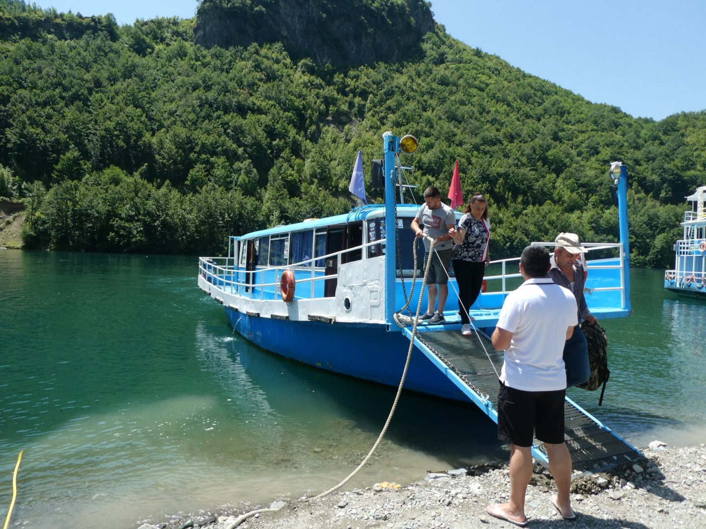
It takes about three hours to get to Fierze. The first hour or so was very scenic.

Sadly, after that the lake is blighted with lots and lots of plastic bottles which we were later told wash down from Montenegro. Such a shame.
At Fierze another van picked us up for the journey into the mountains. We stopped for a ‘light lunch’ in the small town of Bajram Curri, named for an Albanian freedom fighter who fought for the interests of ethnic northern Albanians, first against the Ottoman Empire and later against the subsequently formed Albanian national government. He shot himself near here rather than be captured, and the town was renamed in his honour.
The lunch turned out to be a multi-course feast. Luckily there was another hour in the van to digest it before we were decanted at a trail head in the Valbona Valley to begin walking. Finally we got our boots on a trail. It felt like we’d been travelling for two days just to get to the start point.
A peaceful walk followed the Valbona River, most of it shaded by beech trees. The water was crystal clear, snow-fed.
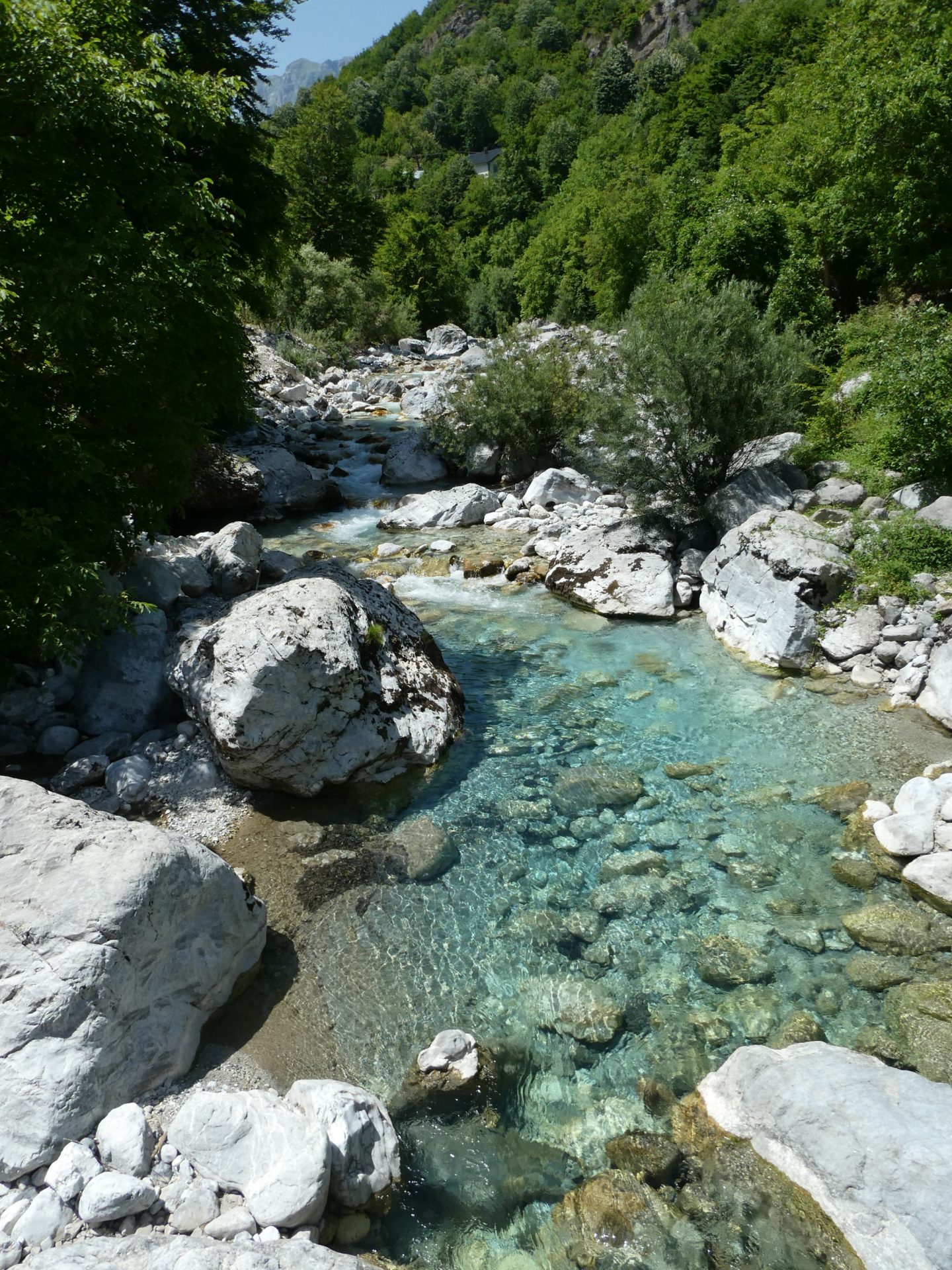
It was an easy walk with a little bit of boulder climbing and our first views of the mountains we’d be tackling on subsequent days.

Albania is still littered with abandoned bunkers from its communist days. Even here, it seems, the threat of invasion was perceived to be ever-present.

The walk was short, just 7km. We thought we’d reached our accommodation.

Just kidding.
The temperature gauge was clocking 35 degrees Celsius and it was fiercely hot even under the trees. Further along, there was a fine spot for swimming. The water was icy cold but Fiona and Mark went in. Just an invigorating dip, before we continued on to the village.
Here we stayed in a marvellous small hotel run by a welcoming host, with a delicious home style dinner which included a whole river trout each. Couldn’t ask for more.
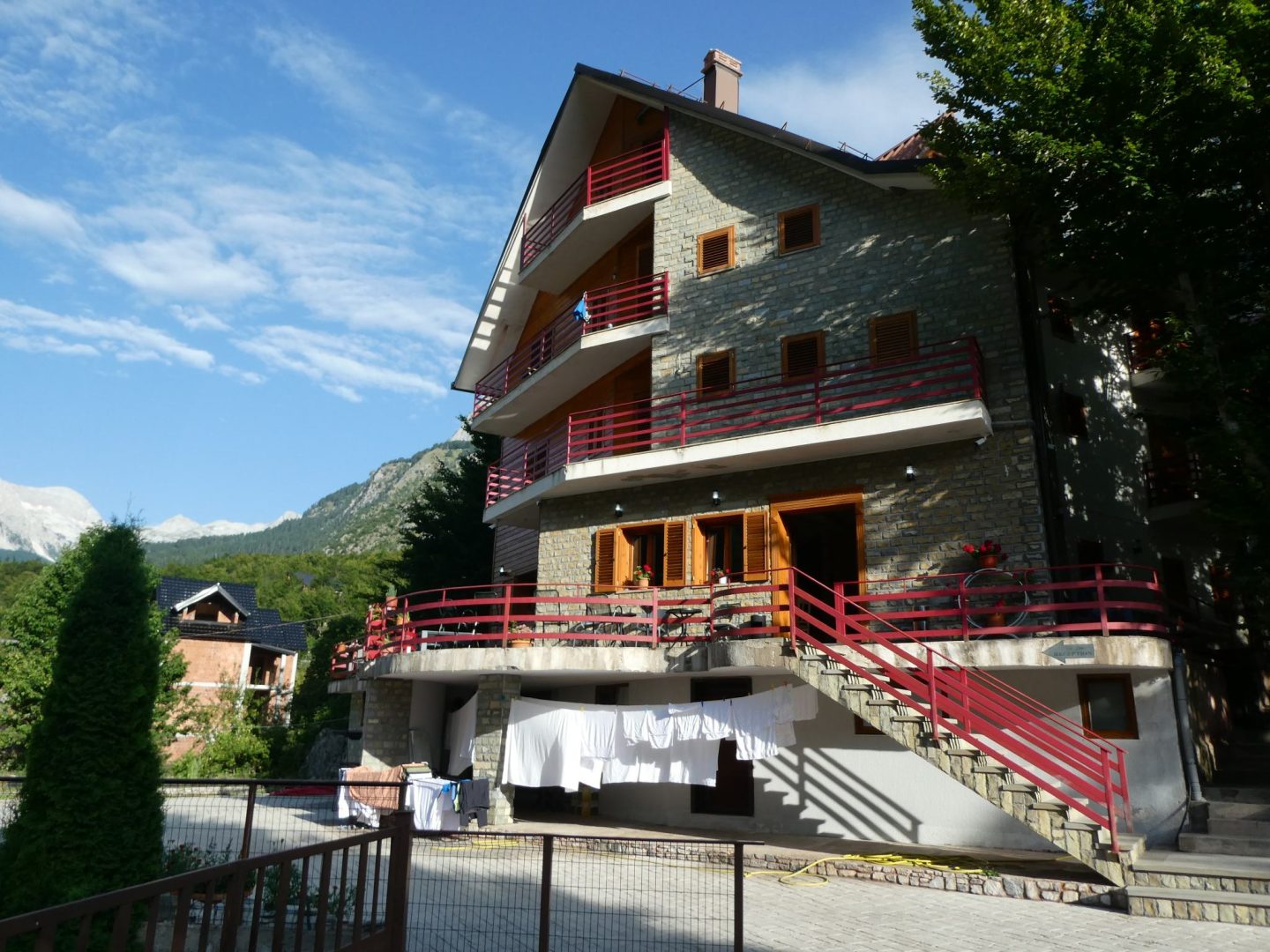
Total walk distance: 7km.
Day 3: Cerem to Doberdol
Next morning we were collected in a jeep to be driven to the start of our walk. The road was in poor condition and narrow. It’s fortunate there are very few vehicles on these roads. This is what passing looks like.

We were deposited in the tiny village of Cerem and the jeep disappeared back down the road.

There were just a few houses, some yards for cows and some cute bee hives.

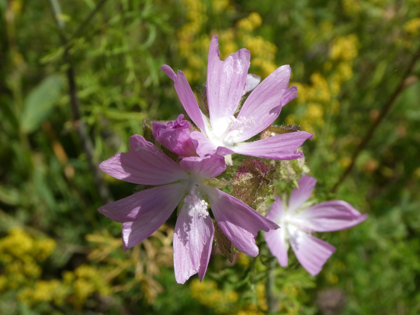
We headed into the cool forest and started to ascend. It must be a smorgasbord for bees up here. Wild summer flowers were everywhere.


It was a long, steady climb, gaining almost 2km in elevation over the first 9km of the trail. We reached a road and then a platform with views out over the karst peaks in the distance.

Mark spotted this sticker on the edge of the platform. It’s German and a literal translation is “equal rights for all, same breasts for all”. It’s the slogan of Equal Breast for All, a group campaigning for the right of women to go topless without being sexualised. ‘Men can go shirtless, why not women?’ is their argument. Neither seems wise in this harsh sun.

After a short section following the road, the trail headed back into a forest dotted with alpine meadows. This nondescript stone pile at the Vranica Pass marks the boundary between Albania and Montenegro. We were entering a different country.

After the relative cool under the forest cover, it was hot. We picked wild blueberries and raspberries which were minute but packed with flavour. The meadows were alive with bees, bugs, and butterflies.


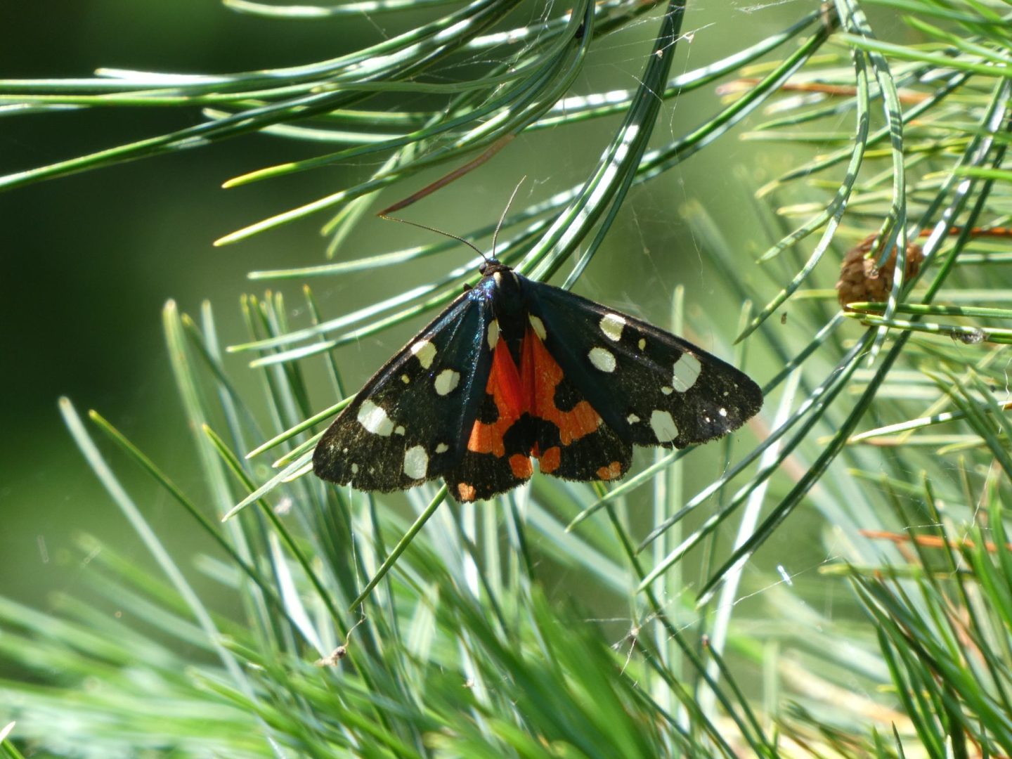
And one snake.

After a final ascent to another mountain pass, we crossed back into Albania. We were ready for lunch and here was the perfect spot. Money couldn’t buy a better lunch vista than this simple shelter offered.

Phenomenal views over the mountains and, just out of shot, a shepherd’s hut where a gentleman sold us Turkish coffee and homemade cake studded with wild blueberries picked from these fields.
From here the trail began to descend. We reached a shepherd villlage, Balquin perched on the slopes.

A sharp descent to somewhere at the bottom of this valley was required.

Which seemed very unfair because then we had to climb again. But finally we emerged on the Doberdol plateau and could see our village destination in the distance.

Tonight’s accommodation was far more rustic. This time we aren’t kidding. This luxurious mountain chalet actually was our room for the night.

No phone reception, no internet, no hot water. But a cold beer, a hearty meal and a roof overhead meant after the long hike, we slept solidly.
Total walk distance: 17.5km.
Day 4: Doberdol to Babino Polje
Today’s walk began with a short but challenging ascent up toward Mount Trekufiri, whose peak is the point at which the borders of Albania, Montenegro and Kosovo meet. Julie took this picture from about half way up the climb, looking back toward Doberdol, now tiny in the valley below.

She forgot to take one at the top of the climb, which ended at a saddle below the peak. We passed on the opportunity to add a side walk to the summit, instead heading off along a ridge into Montenegro.

We passed an abandoned military hut, a relic from the Communist days when Albania and the then united Yugoslavia weren’t exactly best friends.

The path was pleasant and once again nature was putting on a show for us.


After a while, in the distance we caught a glimpse of Lake Hrid. In 2022, it was voted most beautiful lake in Montenegro.
Hrid means ‘craggy rock’ in Montenegrin. It’s a fitting name. The lake sits beneath the steep cliffs of Mount Hridski and Mount Bogićevića. At an altitude of 1,970 metres, it’s one of the highest lakes in Montenegro. Also known as the ‘Lake of Happiness’, according to legend it was created by the gods as a hidden place for fairies to bathe out of sight of humans.

Local legend also says swimming in the lake’s snow melt-fed waters brings good health and good luck in marriage. We thought it more likely to bring hypothermia, but Fiona, Noreen and Mark all took the plunge. Mad Brits!!!

The lake is also a habitat for newts.

After boulder hopping around the lakeshore, the trail swung away and down, eventually flattening out into an easy path and reaching a perfectly positioned ridge top cafe where some had beers and others had the most delicious raspberry juice made by the owners from wild berries gathered from the meadows.

Refreshed, we practically cantered down to our end point, more rustic cabins in the forest. So peaceful and with postcard views.

Total walk distance: 14.5km
Day 5: Grbaja – Mount Taljanja – Grbaja
At our pre-trip briefing in Shkoder, this had been described as the hardest day. And when the German Alpine Club standard walking time assessment is that this 10km walk will take 6.5 hours, you know it’s going to be tough.
It started with a solid 2km climb up through beech forest, eventually emerging at an open glacial cirque, an alpine meadow surrounded by peaks.

More miniature berries, this time strawberries.

And then the fun started. Yeah, we’re going somewhere up there.
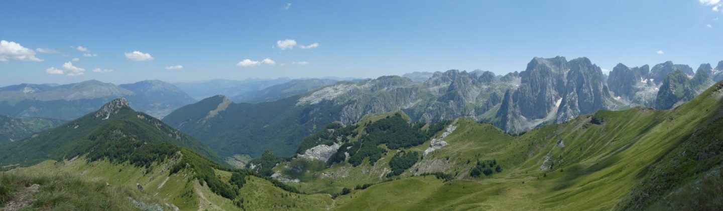
Up, up, up to the second highest peak on the rim, Mount Popadija.

A local dog had been our tour guide all the way. Even his tongue was hanging out when we reached the first peak.

The trail continued along a narrow ridge on the rim.

To the highest peak, Mount Taljanka. That’s it in the background of the next photo, with a group of other walkers just visible at the top.

And here’s a shot looking back to the first peak.
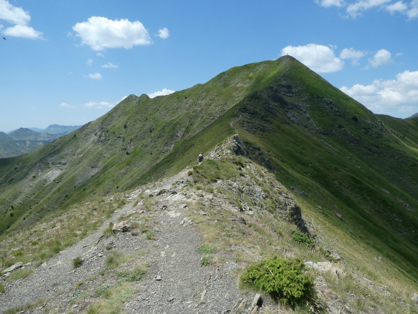
We thought we’d conquered the peaks, but there was another one to come, Mount Valusnica.

It was rugged going. The temperature gauge was in the high 30s, and we were completely exposed.
And, of course, what goes up must come down. See the trail in the open meadow at the bottom of the next photo? We had to get down there, somehow.

It was a slow descent, steep and loose underfoot, in 35+ Celsius heat until we re-entered the beech forest. We completed the walk in just under the German Alpine Club estimate, and we’d definitely earned a beer once we reached the end. Luckily there are a couple of bars at the bottom near the park ranger’s station, and our driver was gracious enough to wait while we downed a coldie before heading out.
He took us by van to our next digs, his family’s lovely guesthouse of wooden huts with an open air pavilion for meals just outside the village of Vusanje. His wife described it as ‘an Albanian village in Montenegro’. And next morning, there was a glorious sunrise over Vusanje and the mountains we’d climbed.

Total walk distance: 10km.
Day 6: Vusanje – Peja Pass – Theth
Yesterday was tough, today was the toughest.
It started easily enough.

But we knew we were headed for those mountains.

A border marker told us we were back in Albania again.
 We started up a boulder strewn slope with another abandoned military post to the side.
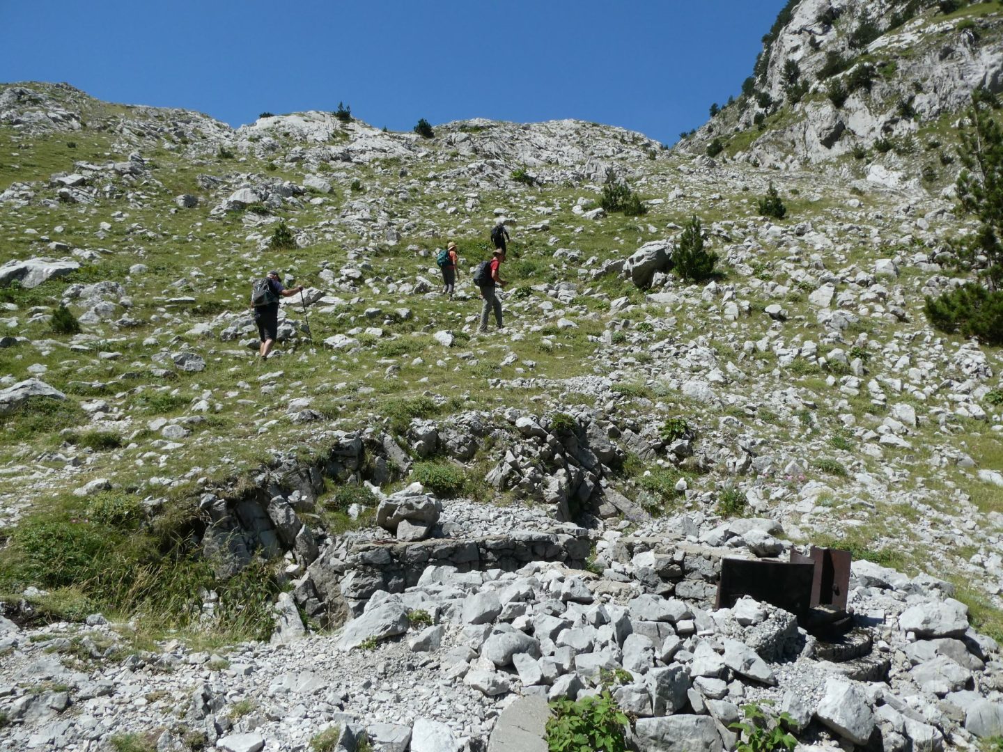
 And then the climb started. We topped out somewhere up there.
 The heat was unrelenting. Another 35+ Celsius day with no shade cover. We stopped for lunch, contemplating what came next – a near vertical descent down the other side.

The trail was loose with small rocks and gravel, and a devilishly steep gradient. The sun hit those pale rocks and bounced right back up at us. Julie was too busy concentrating on not slipping/falling, she only took one photo on the way down, at a spot where some other walkers were resting in a rare area of shade provided by a cave to the side of the track.
 It took about two hours of straight down before we reached the valley floor. All of it in the beating sun.
Not surprisingly, a strategically based bar at the bottom was making a killing. We stopped for an iced tea and continued on a mercifully flat path following the river toward the village of Theth. According to local tradition, the village was settled 300-350 years ago by a man who is the single common ancestor of the whole community. Busy man.
As we entered the village, there was a pool which had been created by diverting some of the river water. It looks inviting but you might note there’s no one actually in the water. As hot as the air might be, the snow melt-fed river water is only 7 degrees Celsius. Fiona and Mark stopped for a quick immersion anyway.
 The church in Theth, set against the background of the Accursed Mountains is one of the most recognisable images of the area.

Anthropologist and writer Edith Durham, best known for her early 20th century studies of life in Albania, said of Theth, “I think no place where human beings live has given me such an impression of majestic isolation from all the world”.
She may not think so if she was here today. Until very recently Theth was still a sleepy village with a rough single lane road joining it to larger settlements further down the mountains. But a couple of years ago, the road was substantially ungraded and is now paved and two way for almost its full length, resulting in a huge uptick in visitors. We saw lots of camper vans and young backpackers. It has the feel of a place that’s getting too popular, too fast. Get here soon if you want to enjoy it.
Total walk distance: 16.6km
Day 7: Theth to Nderlysa
Our final day of walking. We left the village following the Theth River.
 It was too early for beers, but we were impressed by this natural and electricity-free refrigeration method.
 Here, it looked like the children’s pet fish had died so they adopted a watermelon instead.
 We were on the trail to Grunas Waterfall. As we neared, we could hear the sound of water rushing over rocks. We found a gaggle of people sitting by this cascade. Surely this isn’t it?
 No, it’s not. After a short vertical climb, we found it.

A boulder hop across the base of the falls led to a continuation of our trail. And after descending back down to river level, we walked on rocky trails criss-crossing the river.
 All the way to the village of Nderlysa.
Total walk distance: 7km. Plus two hours in a stiflingly hot minivan, then another two hours by car to reach Tirana where we had a celebratory farewell dinner. Farewell to the mountains and to each other as we were all going our seperate ways next day.
It was a challenging walk, especially because of the heat. But this remote mountain landscape is something special – dramatic, beautiful, at times stark and unforgiving, unspoilt. And all with the company of good friends. Loved it all.

What a walk! Challenging but beautiful so pleased there were no falls as it sounded very tricky in places x
Great story telling. I suspect there were times you wondered why you were there but getting through it and being in the moment and experiencing the beauty must have validated a fabulous week. Thank you for continuing to share your travels. I always look forward to the next tale. Take care, Alison
Author
Thank you. It’s always good to hear from you.
Really enjoyed the trip, great blog – when did you find the time to do all of this research?! Have already sent it to a few friends to read. Enjoy Serbia, I’ll look forward to reading about it.
Looking at those jagged peaks makes Accursed seem an appropriate name but the walk looks anything but. What a fabulous adventure if a little tough 😀